Looking for design inspiration?   Browse our curated collections!

Previous Image

|

Next Image
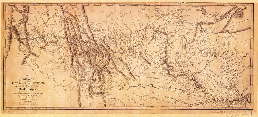
Antique Maps Painting - 1804-1806 Map of the Lewis and Clark Expedition by Celestial Images

1804-1806 Map of the Lewis and Clark Expedition is a painting by Celestial Images which was uploaded on April 4th, 2015.

More from Celestial Images

View Profile

A Chart of the Chesapeake And Delaware Bays 1862 by Celestial Images
Antique Map of Nantucket by Celestial Images
 A Map And History Of Peiping by Celestial Images
1794 Samuel Dunn Wall Map of the World in Hemispheres by Celestial Images
Antique Map Of Chicago by Celestial Images
map of Long Island New York by Celestial Images
Antique Map of Madison Wisconsin by Celestial Images
Imperial Federation Map of the World Showing the Extent of the British Empire in 1886 by Celestial Images
1857 Colton Map of Ontario Canada by Celestial Images
Antique Map of  Canada 1801 by Celestial Images
Antique Map Of Americas by Celestial Images
1865 Map The Roman Empire Under Constantine by Celestial Images
Antique Map of the Korean Peninsula 1860 by Celestial Images
Antique Map Of Terra Sancta Vocata 1744 by Celestial Images
1864 Mitchell Map of Cincinnati. Ohio by Celestial Images
Blaeu map of the Low Countries in 1645 by Celestial Images
Map of the Great Lakes by Celestial Images
1857 Map of Massachusetts and Rhode Island by Celestial Images
1864 Map of Persia Turkey and Afghanistan Iran Iraq by Celestial Images

Comments (1)

Dean Wittle

Dean Wittle

Congratulations on today's sale!

Recently Viewed

1804-1806 Map of the Lewis and Clark Expedition by Celestial Images
Previous Image Next Image